Maps and planning
In Route mode, set a start, stops and destination; BayPilot calculates the route, distance and estimated voyage time. Planner helps divide a longer voyage into days and account for daily sailing time and distance. Both features are available on Android, mobile web and computers.
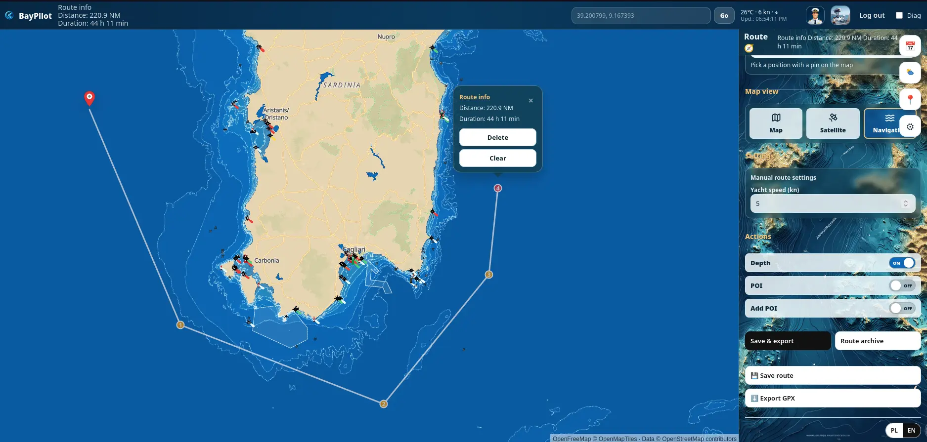
Four map views
A clear map for finding places, setting points and planning a route.
Satellite imagery for inspecting coastlines, ports and marina entrances.
Bathymetry, contours and depths where suitable data is available.
A map view with seamarks, lights and layers useful on the water, available on all platforms. Selecting this view does not start active route navigation.
Route
Set a start, add stops and choose a destination. After calculation, BayPilot shows the route, distance and time based on the selected yacht speed. In a browser on phones and computers, routing works online for planning — without Start or active route guidance.
- start, stops and destination
- yacht speed and estimated time
- save to the archive after sign-in
- export a calculated route to GPX
Voyage Planner
Planner prepares multi-day voyages. Set the number of days, sailing hours, minimum and maximum daily distance and a preferred destination. The result can be reviewed on the map and saved to the archive.
Seamarks, places and personal POIs
The map shows available seamarks and points such as anchorages, marinas, fuel stations and mooring buoys. Signed-in users can add personal POIs while the app is online.
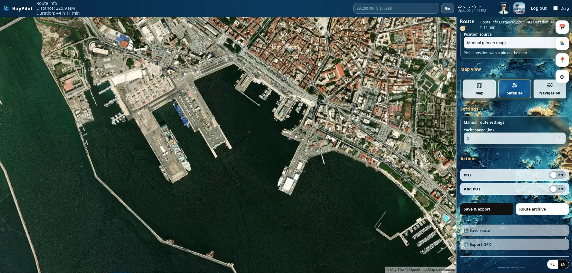
Satellite view for local context
Satellite view helps inspect a port, breakwaters, coastal development and marina layout. It is supporting material and does not replace current official nautical charts.
Bathymetry, depth and seamark coverage depends on data available for each area.