BayPilot overview
Marine navigation, voyage planning and weather in one place
BayPilot helps you prepare a route and check weather in the Android app and in a browser on phones and computers. Active guidance along a calculated route is available exclusively in the Android app.
Key features
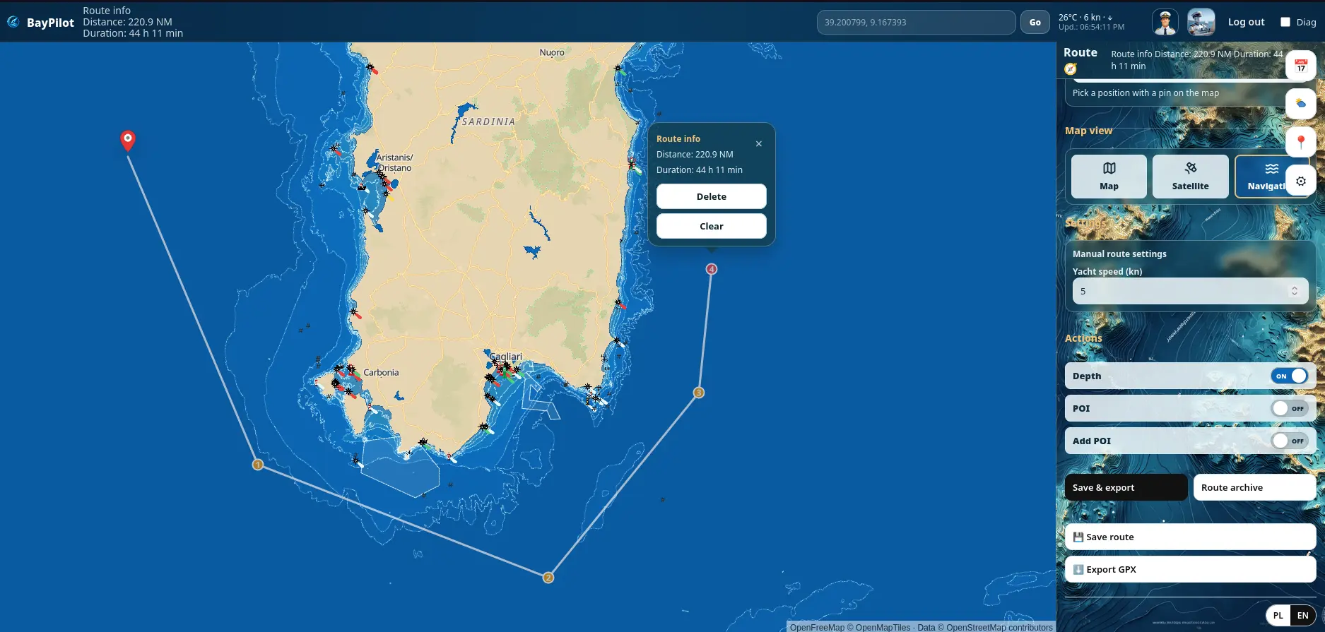
Maps and planningFour map views, route calculation, Planner, POIs, route archive and GPX export.View details Android navigationActive guidance along a calculated route, motion data, remaining distance and Track recording — exclusively in the Android app.View details Weather and seaWeather layers, point forecasts, water temperature, sea level and waves.View details Offline mapsA world base map, regional packs and offline route calculation in the Android app.View details Captain AIAn intelligent assistant that answers questions and uses BayPilot tools.View details Anchor AlarmLocal anchor-zone monitoring with optional notifications to other devices.View details
Where does BayPilot work?
| Feature | Android | Mobile web | Computer |
|---|---|---|---|
| Maps and planning | Yes | Yes | Yes |
| Navigation mode | Yes | No | No |
| Weather and sea | Yes · online | Yes · online | Yes · online |
| Downloadable maps and offline routing | Yes | No | No |
| Captain AI | Yes · account and internet | Yes · account and internet | Yes · account and internet |
| Anchor Alarm | Yes · background | Yes · active page | Yes · active computer |
Active navigation with Start, a COG line and Track recording is available only in the Android app. Mobile web and computers retain maps, planning, online routing, route saving and export. Captain AI requires an account and internet access. Anchor Alarm in a browser requires an active page; background alarm operation and downloadable offline maps are available on Android.
Getting started
1Open the app
2Choose a map or feature
3Plan a voyage or start the selected tool