Captain AI — BayPilot's intelligent assistant
Captain AI is an advanced assistant powered by a latest-generation artificial intelligence model. It combines broad general knowledge and extensive sailing knowledge with the tools available in BayPilot. It helps plan voyages, calculate routes, analyze weather and sea conditions, and use application features.
Open Captain AI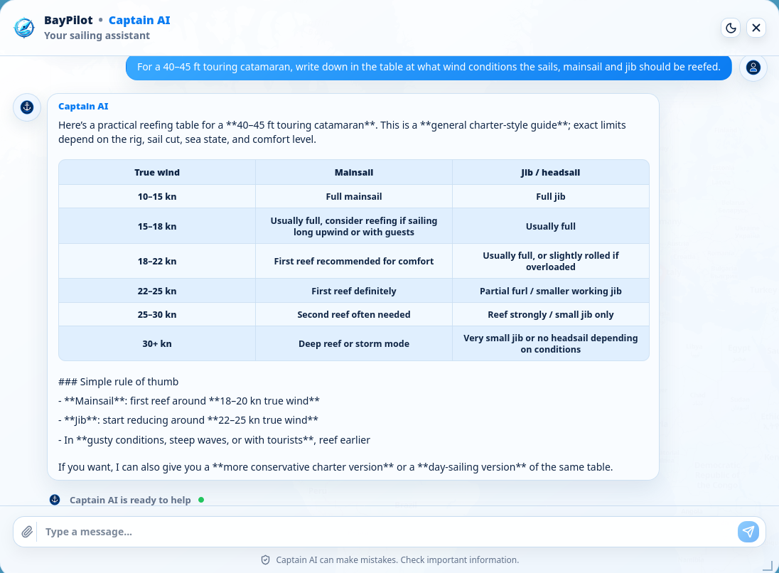
What can Captain AI do?
Calculates marine routes, distance and approximate passage time, and helps prepare a voyage plan and its legs.
Checks the forecast for a selected place and helps explain wind, precipitation, temperature and conditions at sea.
Can use the current position or a point selected in the app and help find ports, marinas, anchorages and other places.
Answers questions about navigation, weather, safety, boat equipment, ports and voyage preparation, among other subjects.
When an answer needs fresh data, it can search the internet and provide the sources it found.
Explains modes, settings and tools, and suggests how to complete a task in the application.
When explicitly asked, it can prepare an illustration, a simple graphic or an SVG icon. Generated material is illustrative.
How to start a conversation
- 1
Sign in to BayPilot — Captain AI works with a user account and requires an internet connection.
- 2
Select the Captain AI icon beside the application's top bar.
- 3
Describe what you need precisely. Include the place, date, boat speed or other important conditions.
- 4
Check the result and, if needed, ask for clarification, a comparison or the next step.
Uses application context
Depending on the open mode, Captain AI can account for a selected map point, device position, route start, Planner settings or the weather forecast point. Before sending a question, make sure the correct place and parameters are set.
Captain AI can make mistakes or provide incomplete or outdated information. Always verify routes, depths, forecasts, warnings and other safety-critical data against current official sources. Captain AI does not replace the captain, observation of conditions on the water, official charts or certified navigation equipment.